Brent, Doug, and I convened at Doug’s house on March 24. The morning of the 25th, we headed toward the south rim by about 6:00.
Day 1
7.2 miles, 184’ ascent, 4,854’ descent
It had snowed a fair bit overnight, but the roads were mostly clear-ish until a few miles north of Williams. Then, the road became icier, and we came across one accident where a couple of vehicles appear to have lost control. The road cleared up north of Valle.
We all carried ice spikes, but hoped they’d be unnecessary. It turned out that we needed them. The first mile of the Kaibab was snowy and icy, and we were grateful that we had them as we passed other hikers sliding dangerously on the trail. Miles 2-3 were muddy and wet, which made for slow going. Since the Bright Angel trail is closed because of the new waterline installation, there were many more hikers on the Kaibab than would otherwise be the case. The hikers thinned out considerably after a couple of miles, and we enjoyed a pleasant hike to Bright Angel campground.
These were the windiest conditions I’ve ever experienced in setting up a tent. My tent continually collapsed from the force of the wind after I had it staked and secured.
We piled rocks on every stake, and, fortunately, the wind died down after a bit, allowing us to enjoy the serenity of Bright Angel Creek.
We enjoyed some time beside the creek and a stroll to the silver bridge before dinner.
I was in bed by 8:05, and decided it was time to sleep after I dropped my phone when I fell asleep a few minutes later while reading Steinbeck’s Travels with Charley.
It didn’t get as cold that night as was forecasted. The forecast called for a low of about 37, and I doubt that it got any colder than the 40s.
Day 2
10 miles, 2,675’ ascent, 1,553’ descent
There was light rain at around 4:00. I mustered the courage to get out of bed to grab our backpacks and put them under my vestibule. That proved to be enough to stop the rain. (Had I reclined comfortably in my bed, I’m sure the rain would have continued.)
I again left the comfort of my bed a little after 5:00 to make coffee. Several deer wandered through our campsite, as I enjoyed the last of the moonlight shining in the high canyon walls.
We left camp at about 7:40 to start the trek over to Clear Creek. The morning was comfortably cool as we made our way to the junction of the North Kaibab and Clear Creek trails.
On our climb up to the plateau where we would spend most of the day, we paused to look down on Phantom Ranch, now a thousand feet below us.
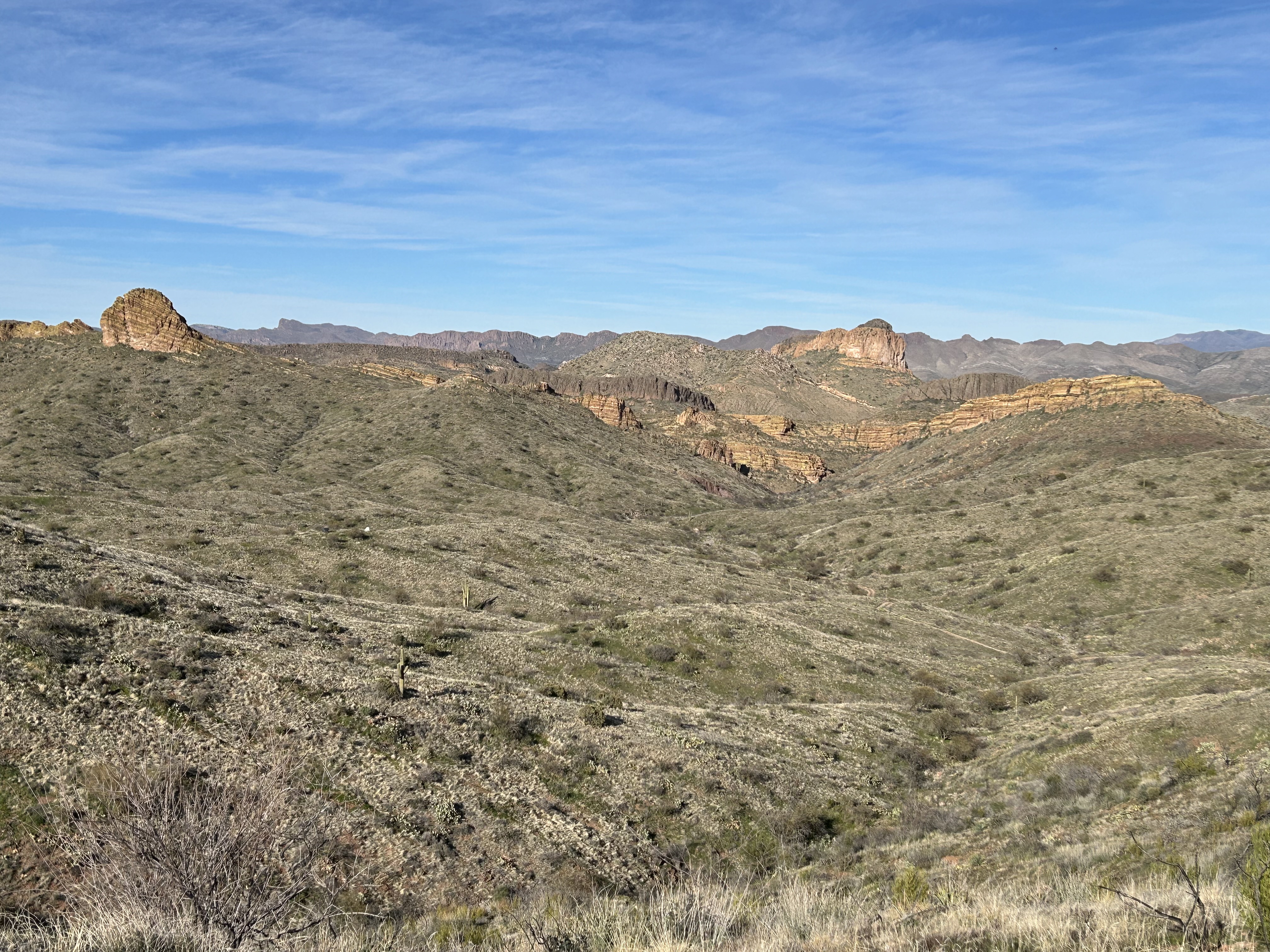
Nine miles later, we descended to Clear Creek. We had hiked about 10 miles and gained about 2,700 feet during the day. We had gusty winds and partly cloudy skies throughout the day. Views of Zoroaster Temple and the canyon cut by Clear Creek were breathtaking.
Along the way, we talked to some other hikers returning from Clear Creek who confirmed that the falls were dry. They suggested that we instead aim for some ruins a bit past Obi Canyon.
Day 3
5.5 miles, 400’ ascent, 400’ descent
We had a bit more rain in the night, and awoke to temperatures in the low 30s. We watched the sun descending the canyon walls as we enjoyed a lazy morning digesting our breakfasts. Since we didn’t have far to hike today, there was no rush to leave camp.
We headed off-trail to the ruins about two miles up Clear Creek, just past Obi Canyon. We found the remnants of walls, scrapers, and potsherds.
We returned to camp for lunch and a rest, then Doug and I headed down-canyon to explore the route to the Colorado. We could occasionally find evidence of the route used by others, but mostly just tried to stay near the creek.
We turned back where the trail dropped sharply for a short distance down a rock face. We figured we could get a report from some hikers camped near us who had planned to go all the way to the river.
Day 4
10 miles, 1,583’ ascent, 2675’ descent
We had an uneventful night, then started out at 7:00 for the 10-mile hike back to Phantom Ranch. The westbound hike of the Clear Creek trail was a much easier hike than the one we did two days earlier. It did start to get warm for the last couple of miles.
Whether east or westbound, the views from the Clear Creek trail are spectacular.
Day 5
7 miles, 4,600’ ascent, 0’ descent
We had a windy night in Bright Angel campground, and, by morning, everything was coated with fine dust. None of us slept particularly well, given the windstorm, and we got an early start for our climb back to the south rim. We left camp at 6:30. I hiked ahead of Doug and Brent, but waited for them at the tipoff, Cedar Ridge, and the rim. We were all at the rim by 11:30 or so.